


.webp)


Intelligence Built for Emergency Management
Analytics is built directly into the Ladris platform — understanding your data, your simulations, and your jurisdiction. Instead of configuring tools manually or building reports from scratch, you ask analytics to handle these complexities so your team can focus on immediate actions.
Ask Questions in Plain Language
Type a question, describe a scenario, or request an output — Analytics understands context and responds with relevant data, insights, and actions drawn from your platform environment.
Streamline Complex Workflows
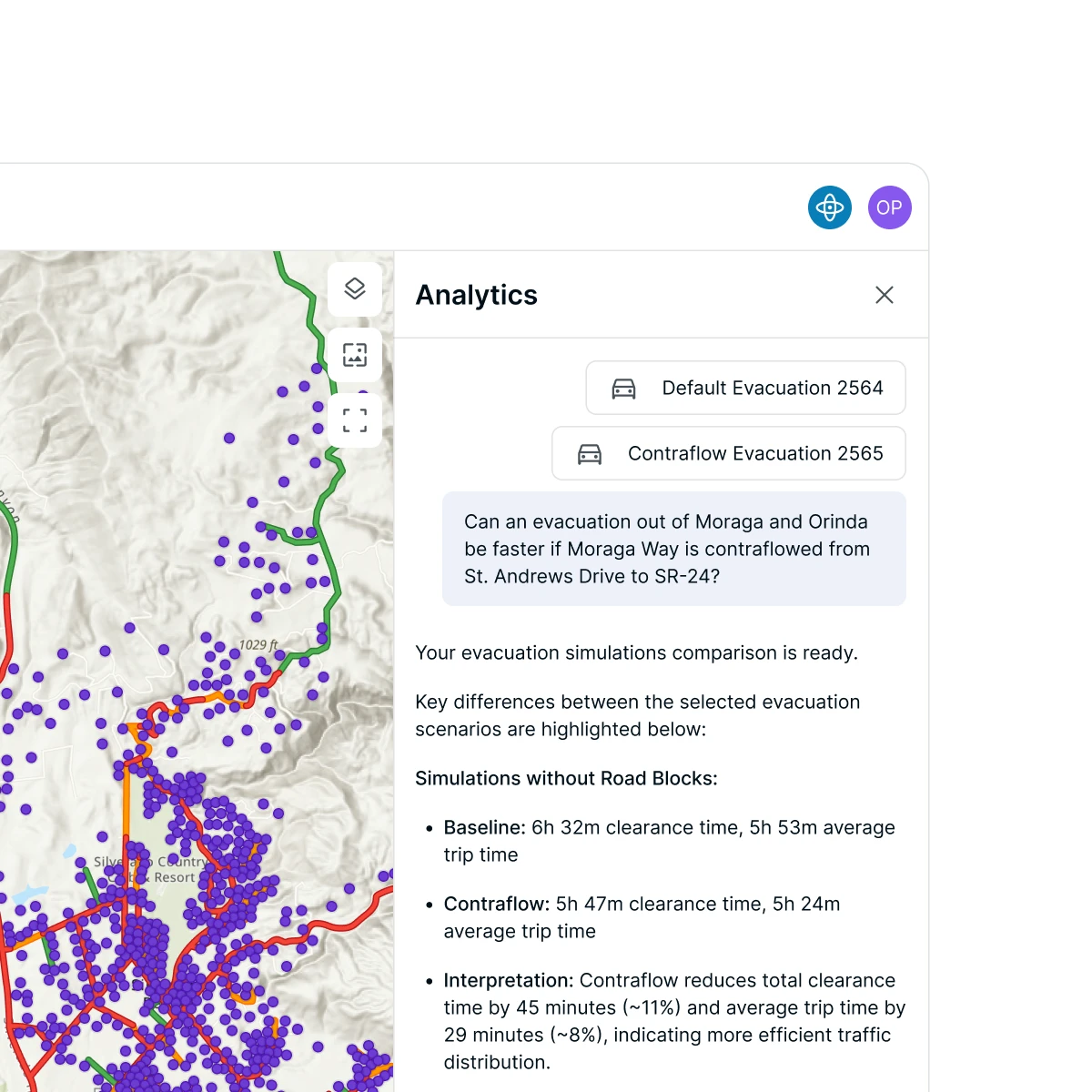
From running a new evacuation simulation to comparing fire spread scenarios or generating a risk summary, Analytics handles multi-step workflows through a single conversational exchange.
Knows Your Data and Your Platform
Analytics works across your entire Ladris environment — your datasets, your simulations, your history, and your jurisdiction — delivering outputs that are specific to your local context.
A Few Things Analytics Can Help With

Evacuation Planning
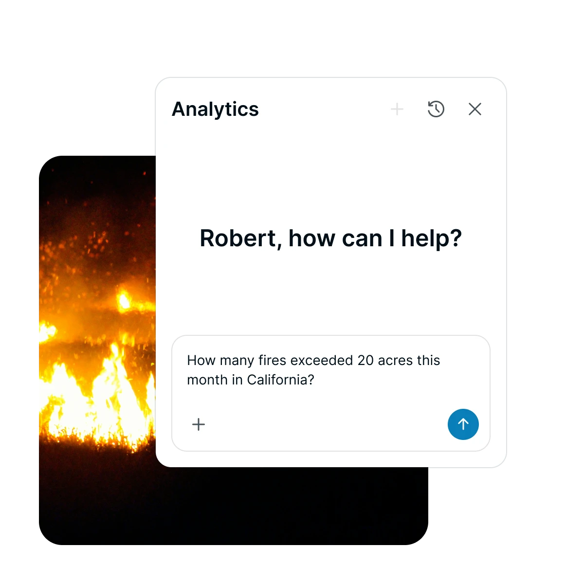
"What is the estimated clearance time for Zone 3 if the main highway is closed during peak season?"
Wildfire Analysis
"Compare fire spread projections for the north sector under yesterday's wind conditions versus today's forecast."
Flood Assessment
"Which critical facilities are at risk if the creek gauge exceeds 12 feet over the next 48 hours?"
Risk Reporting
"Summarize the top three infrastructure vulnerabilities in the county based on our current hazard data."
Grant Documentation
"Draft a risk summary for our BRIC application based on our evacuation modeling and flood forecasts."


© 2026 Ladris Technologies, Inc. All Rights Reserved.


